COMPANY
STEAV Srl – Advanced Territorial Systems
The benchmark in professional technical consultancy for integrated project design, from surveying to modeling and management
COMPANY
STEAV Srl
Advanced Territorial Systems
The benchmark in professional technical consultancy for integrated project design, from surveying to modeling and management
Specialized in topographic, cartographic and territorial surveying, STEAV is a cross-discipline firm operating in Italy as well as worldwide in the AEC field, providing architectural and engineering services for the management of buildings, infrastructures and environment.
A more than ten-year experience and a high-qualified know-how make STEAV the perfect professional partner and a reliable ally in the achievement of a common goal: developing dedicated, tailor-made solutions, starting from the knowledge of the urban and natural environment as a basis for designing and realizing any work.
A group of professionals in the fields of topography, architecture and engineering works in synergy and creates a strong network of specializations and expertise, supported by the most advanced equipment: this is how we are able to offer a wide range of services in multiple sectors.
Accurate, fast, detailed: these are the main stregths of our surveys, thanks to the combination of classical methods with the newest technologies, such as GPS and 3D laser scanning.
Our skills guarantee precision and completeness in our architectural representations and design services, which include a solid expertise in Building Information Modeling.
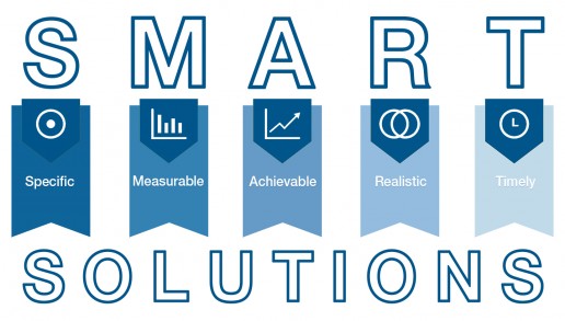
We develop our services specifically on our customers’ needs, transforming them into solutions, which achieve the requested standards, with the most accurate attention to precision of measurements and realistic design and representations, by managing projects rapidly, efficiently and timely.
A history of innovation
Back in 2005, a group of professionals already closely collaborating for several years decided to join their skills and founded STEAV with the aim to answer to the growing demand for advanced services in the field of land surveying. That is why STEAV has evolution in its blood.
Gathering different specializations, the team works together with a cross-discipline attitude and a powerful ability to innovate. Our key strength lies right here: integrating multiple potentials and to have them at disposal in one reference company.
Thus adapting to the ever-changing needs of the market, STEAV met the challenges of the fields it operates in, by enhancing the know-how in surveying on one hand and, on the other, by expanding its design consultancy services with the introduction of BIM technologies and processes since 2010.
A constant path, the same everlasting values: the fundamental point, which characterizes STEAV, is made of accuracy, quality and flexibility at the service of excellence and integration of the final products of our professional technical support.
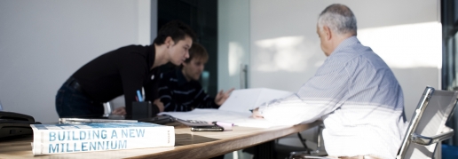
It’s all about the team
STEAV is its team. Manifold in its skills, dynamic and motivated in its professionalism, which we consider primarily as a human quality. Commitment and passion build our corporate identity and team spirit guides our strategies.
A cooperation of professionals, specialized in topography, architecture and engineering, networking and sharing purposes such as innovating and exploring new fields. Each one of us never stops developing new skills in surveying, GIS, 3D modeling and integrated design, in a continuous training path aiming at keeping up-to-date with the most technological solutions and offering a wide range of high-quality services.
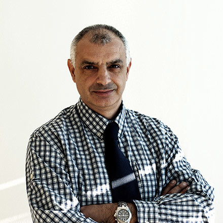
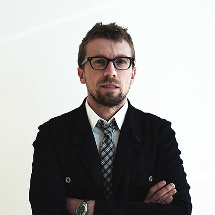
The true human capital: there is no business without people
Mirko CATALANO
Architect | BIM
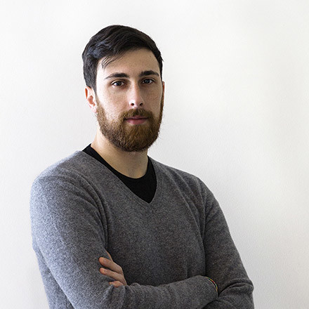
Andrea ZARANTONELLO
Surveyor | Survey & GIS
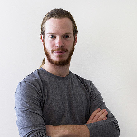
Gabriele VENTURINI
Surveyor | Land Register
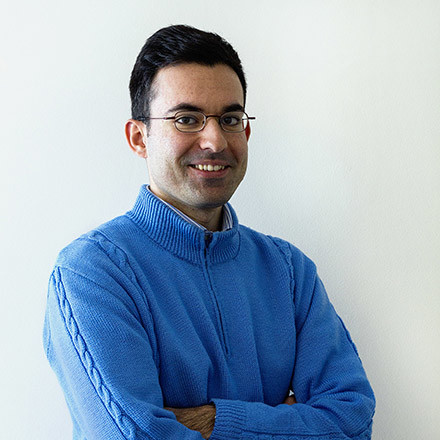
Matteo GRIGOLETTO
Architect | BIM
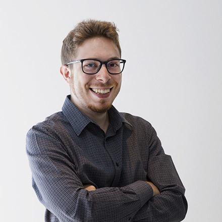
Mattia VELO
Surveyor | BIM

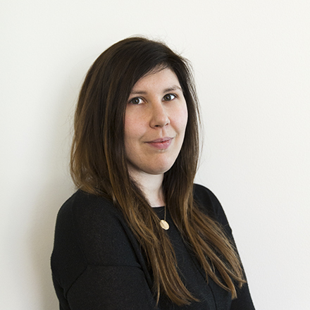
Maria IMBRIGLIATI
Architect | Architecture & Communication
The true human capital: there is nobusiness without people
The true human capital:there is no businesswithout people
Our geographic coordinates
45°33’04.3″N 11°31’19.1″E
Our geographic coordinates
45°33’04.3″N 11°31’19.1″E

