Equipment
Technologies for land surveying and design services
High-tech solutions require cutting-edge equipment, both for measuring and surveying and for digital processing and designing.
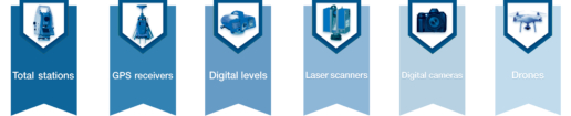
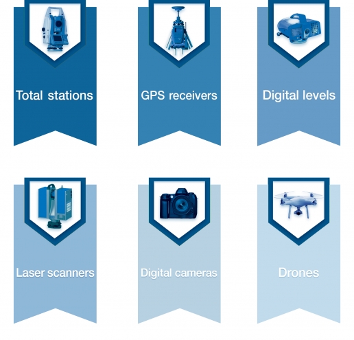
Surveying equipment
- Leica® dual frequency GPS geodetic receivers
- Leica® high-precision TPS
- Leica® high-precision digital levels
- Laser scanners – specific for land, architectural or industrial surveying
Laser scanner Riegl® VZ-400i
Laser scanner Z+F IMAGER® 5016 - Digital cameras and other support equipment
- Drones for Aerial Photogrammetry, video and photograpy
Drone DJI® PHANTOM 4 PRO V2.0
Drone DJI® SPARK
In order to optimize their efficiency, we have our surveying tools annually
checked at authorized service centres.

Surveying equipment
- Leica® dual frequency GPS geodetic receivers
- Leica® high-precision TPS
- Leica® high-precision digital levels
- Laser scanners – specific for land, architectural or industrial surveying
Laser scanner Riegl® VZ-400i
Laser scanner Z+F IMAGER® 5016 - Digital cameras and other support equipment
- Drones for Aerial Photogrammetry, video and photograpy
Drone DJI® PHANTOM 4 PRO V2.0
Drone DJI® SPARK
In order to optimize their efficiency, we have our surveying tools annually checked at authorized service centres.
Dedicated software for every kind of work and field
Topography
- Leica Geo Office®
for surveying data processing - ConVE2014
for the conversion among different geodetic and carthographic reference systems - SierraSoft® TOPKO TM
for topographic calculation, cadastre and land modeling - SierraSoft® PROST
for highway, hydraulic and railway design - Riegl® RiSCAN PRO
for scanner control, data acquisition, scan registration, georeferencing, data merging - Z+F® LaserControl® Scout
for management, scan registration and processing of laser scanner data during the survey - Z+F® LaserControl®
to efficiently manage the scans, working directly from the data acquisition to their reprocessing - 3DFLOW® Zephyr Aerial®
for reconstruction of 3D models by aerial photogrammetry
Geographical Information Systems
- ArcGIS®
- AutoCAD® Map3D®
CAD and BIM
- Autodesk® – Collection Architecture, Engineering & Construction
For architectural and infrastructural 3D planning including:
Revit – Dynamo – AutoCAD – Civil 3D – Navisworks