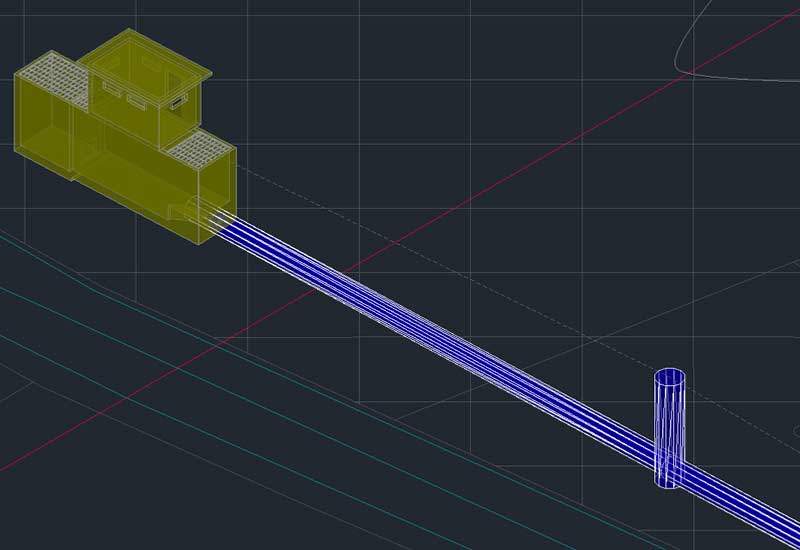
INFRASTRUCTURE INFORMATION MODELING
An efficient management of infrastructures and territory is possible!
Thanks to 3D modelling and documentation using dedicated software supporting BIM workflow, enhancing accuracy and optimizing design.
Having a complete database for consulting and data exchange make decision making and executive processes faster.
With topographical mapping features, you can create three-dimensional maps and integrate an infrastructure in its environment, better detecting clashes linked to territorial traits.


Related project
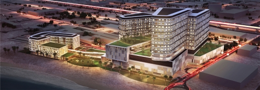
New Maternity Hospital – Kuwait
Building Information Modeling for the architectural design of the New Maternity Hospital in Kuwait City, in collaboration with Studio Altieri.
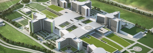
BIM outsourcing
Our collaborations with Studio Altieri in designing projects with BIM processes. Healthcare facilities, exhibition complexes and accommodation structures.
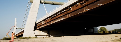
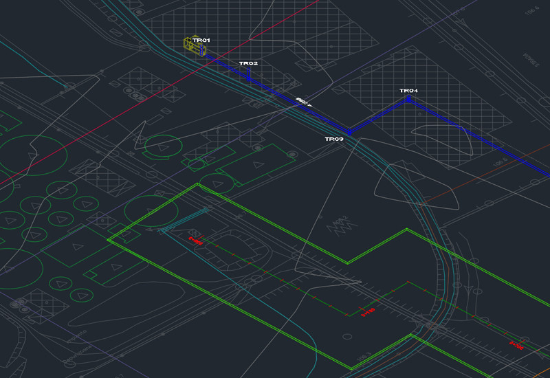
Cable-stayed bridge A31 Highway
Topographic monitoring service of the new viaduct over the river Bacchiglione, Cimolai Construction Site Lot 3 - A31 Highway.