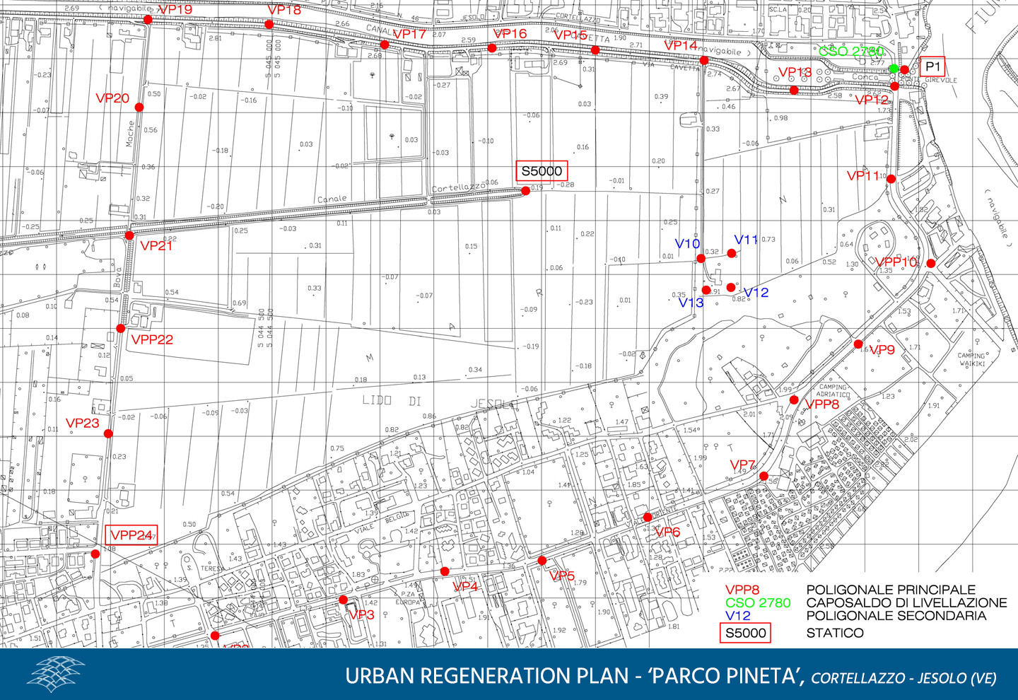
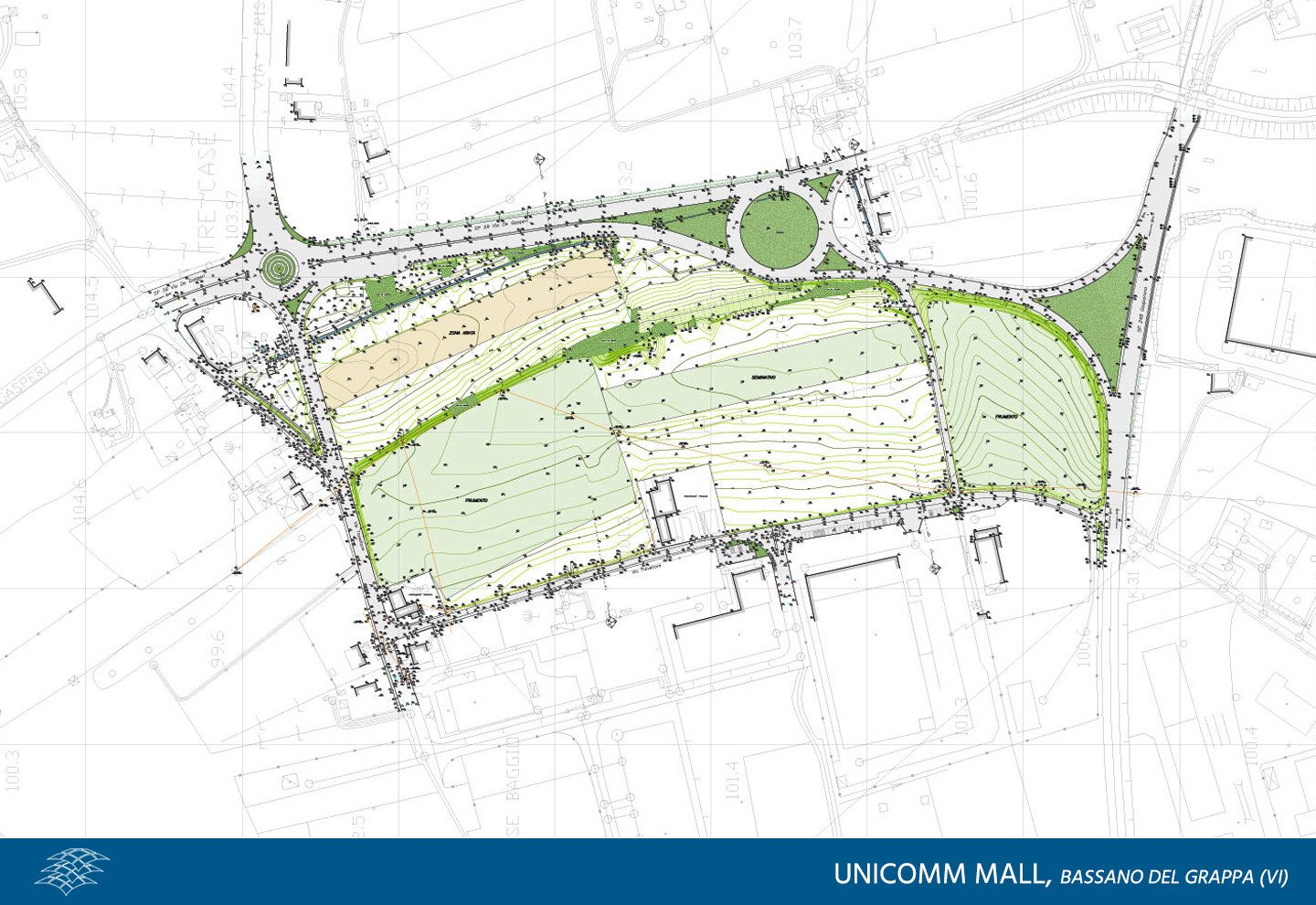
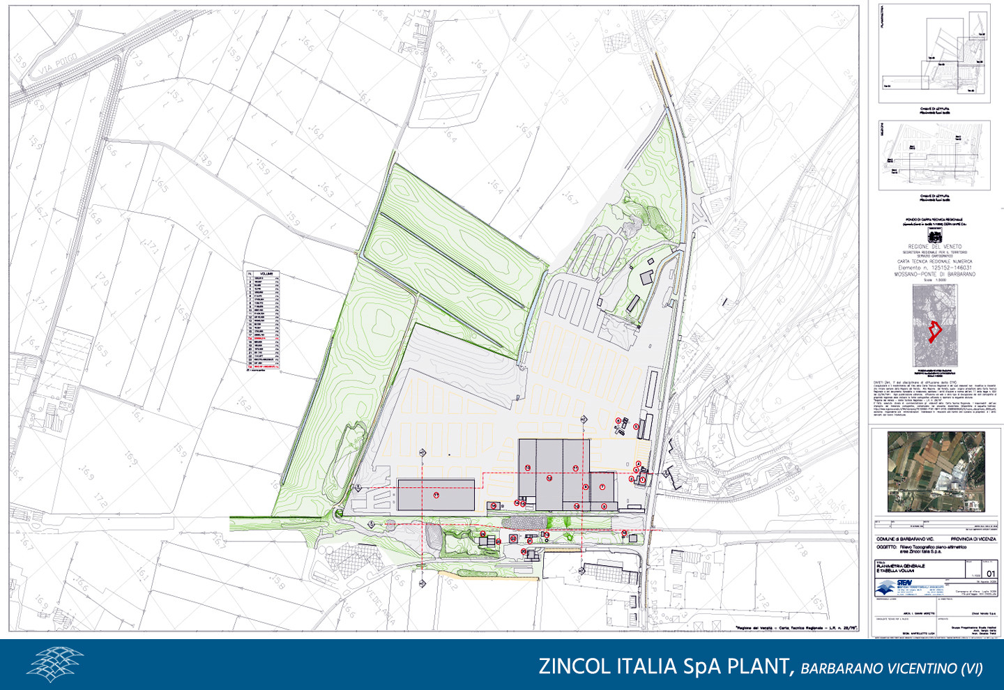
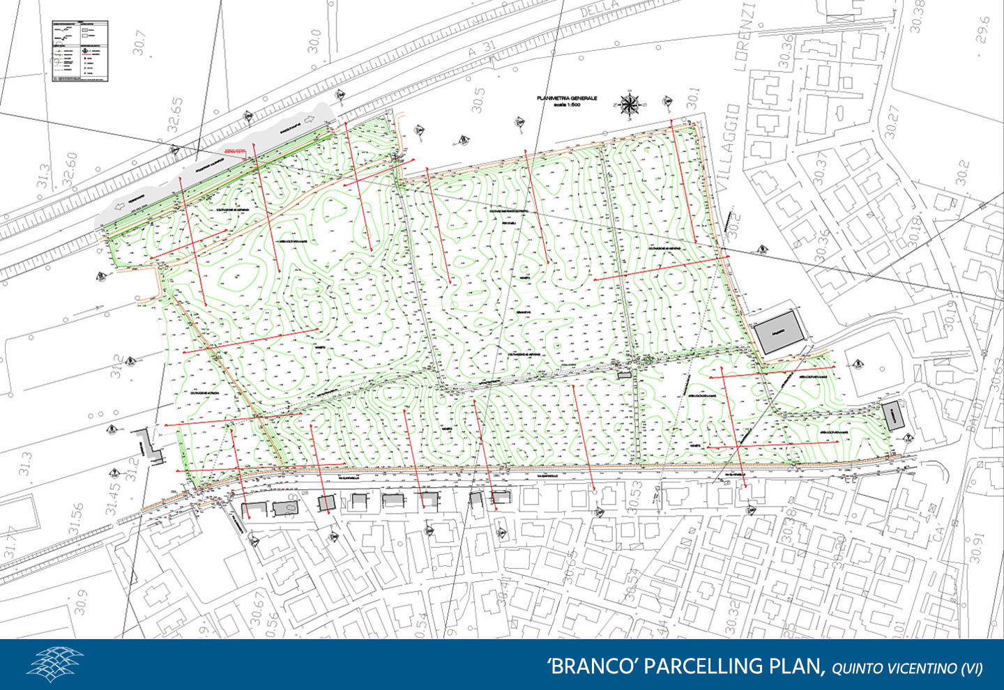
TOPOGRAPHICAL SURVEY
Topography is the starting point of many services of ours and we offer a multi-level final product. We work with flexibility in order to customize the survey to our clients’ specifications and needs and to make them fit for any use and field.
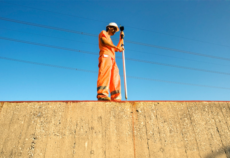
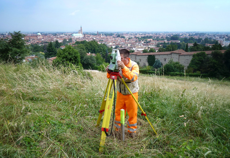
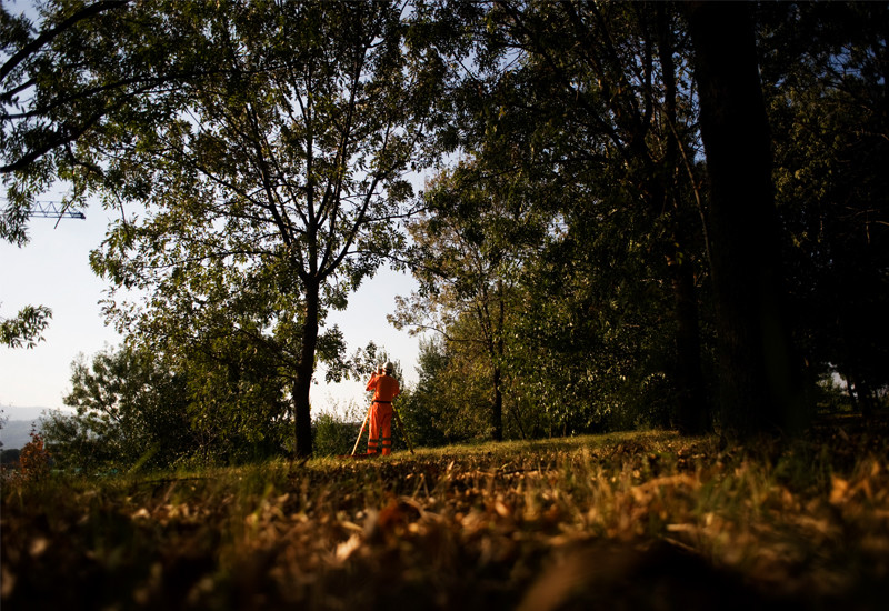
Our topographic services include the traditional tachymetric survey to determine detailed planimetric and altimetric alignment points, always preceded by an on-site reconnaissance to determine the best operational choices, and the GPS survey, in static or kinematic mode, perfect to optimize the phases of acquisition of spatial data, providing quick and accurate determination of the coordinates detected.
The integration of surveying methods allows us to make operations even faster and more efficient, reducing costs and increasing productivity, as well as guaranteeing greater control in all phases of execution, from the initial recognition to monitoring work progress, up to the final testing.


Which services can we offer,
thanks to our know-how and to the technologies at our disposal?
- Design and densification of geodetic networks
- Floor support for aerial photogrammetry; DEM and DTM
- Surveys for Geographic Information Systems (GIS)
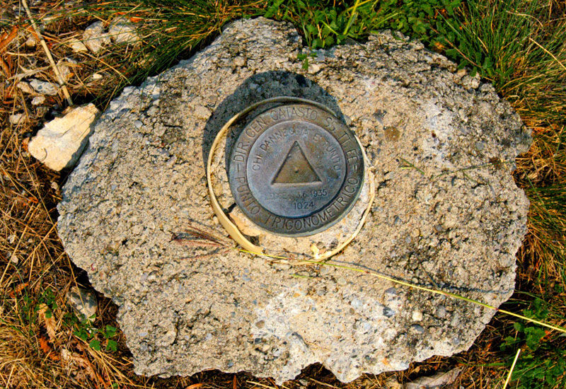
- Precision and high-precision polygons
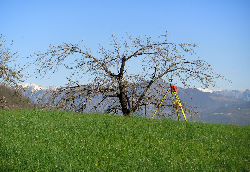
- Multiscale land surveying
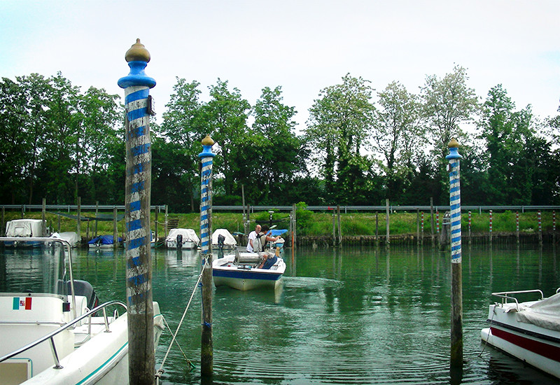
- Bathymetric surveys
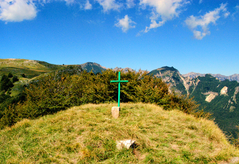
- Path surveys for hiking routes and maps
- Environmental monitoring surveys
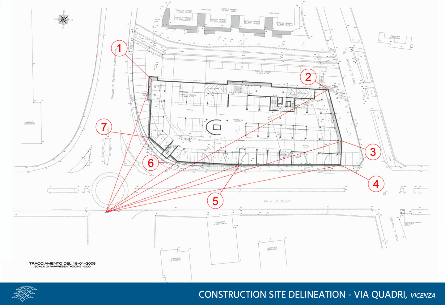
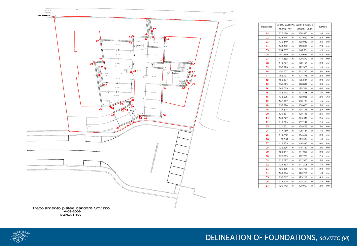
- Delineation, staking of project lines and construction assistance services
- Precision and high-precision levelling
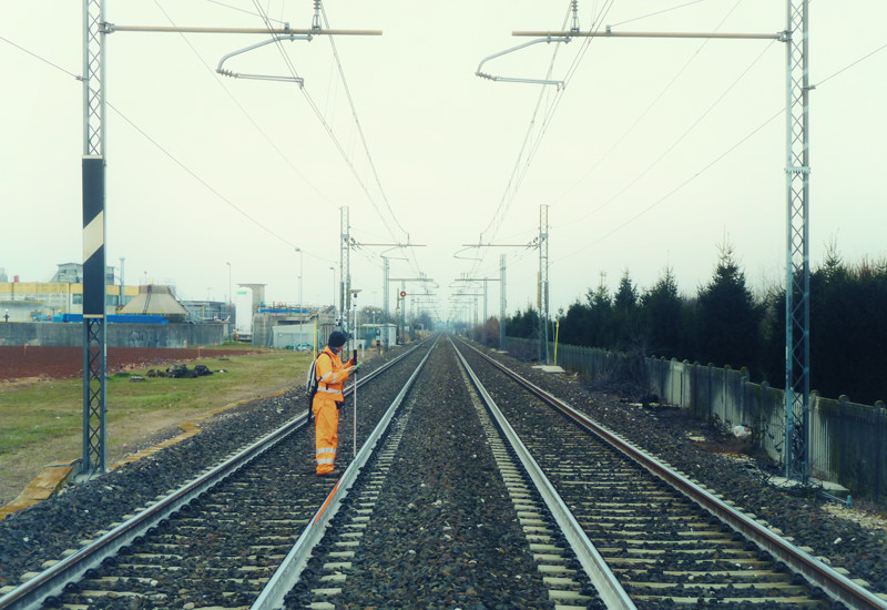
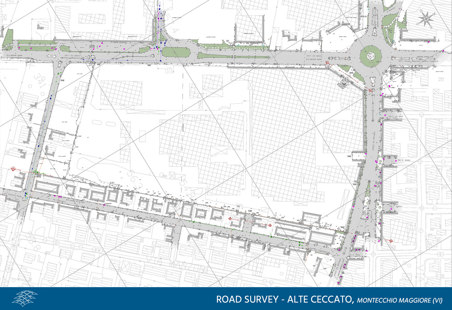
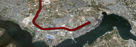
- Road and railway surveys
Which services can we offer, thanks to our know-how and to the technologies at our disposal?
- Design and densification of geodetic networks
- Floor support for aerial photogrammetry; DEM and DTM
- Surveys for Geographic Information Systems (GIS)
- Precision and high-precision polygons
- Multiscale land surveying
- Bathymetric surveys
- Path surveys for hiking routes and maps
- Environmental monitoring surveys
- Delineation, staking of project lines and construction assistance services
- Precision and high-precision levelling
- Road and railway surveys


Related project
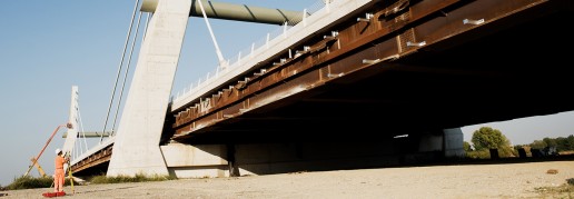
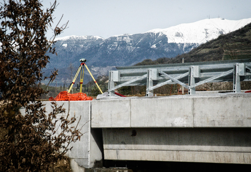
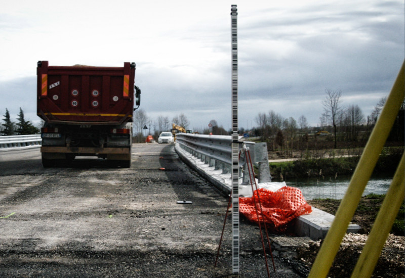
Cable-stayed bridge A31 Highway
Topographic monitoring service of the new viaduct over the river Bacchiglione, Cimolai Construction…
Nelson Mandela Road – Tanzania
Field survey for the rehabilitation of Nelson Mandela Road in Dar Es Salaam - Tanzania. Topographic…