GEOGRAPHIC INFORMATION SYSTEMS
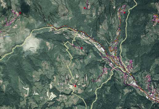
Thanks to our expertise in surveying, geomatics and cartography, we acquire, model and process information for creating geo-referenced databases aiding decision-making support to the administrations and local authorities heading the management of environmental and urban planning.
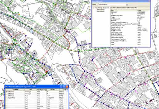
GIS (Geographical Information Systems) are essential tools to mapping and census of geo-referenced spatial data, designed to capture, store, analyse and manage them, creating interactive queries, editing data in maps and ensuring maximum interoperability.
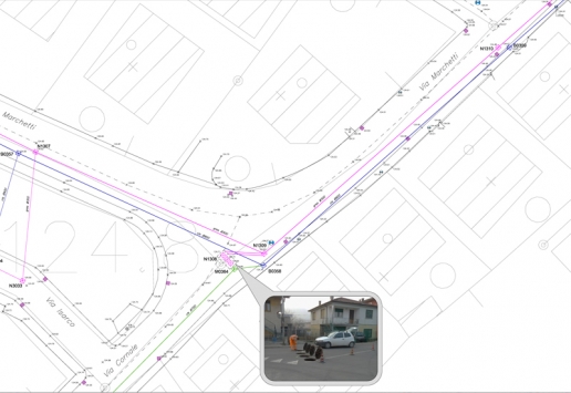
Information, interaction, geo-localization: the keys for efficiency in managing infrastructures such as public lighting, telecommunications, underground utilities, water and road networks and more.
GIS data represent real objects as points, lines, and polygons and associate them to alfanumerical descriptions for classifying, analizing and managing a certain geographical aspect.
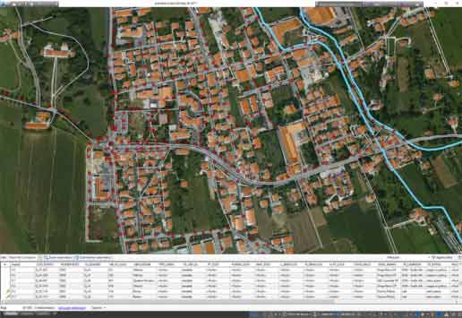
Platforms for managing carthography and GIS data together make it possible to have technologically advanced tools to develop urban planning and land analysis.
Public utilities, facilities and networks can be run in a collaborative environment, with a BIM-based perspective.
This is the basis for Smart Cities: managing the territory through flexible models adapting to real phenomenons and features, always at hand for lifecycle assessment, from which you can create thematic maps, representations and reports.
Beyond GIS – a real spatial data infrastructure.

