LASER SCANNING
Surveying complex structures is now easier and faster thanks to laser scanning, a technology able to acquire a huge amount of data in a brief fraction of time, with a good level of detail.
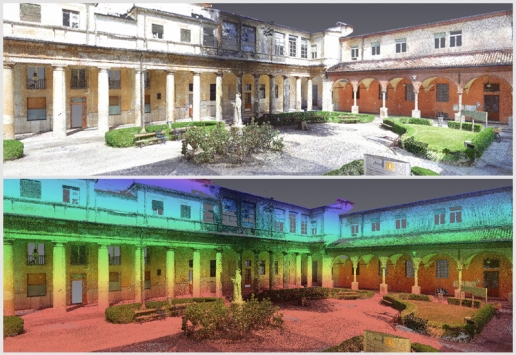
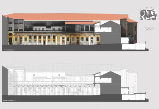
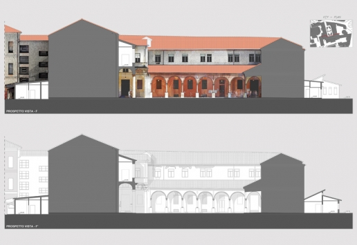
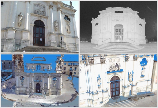
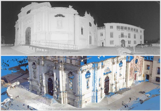
The result of 3D scanning is a point cloud, processing which you can develop the digital 3D model of an area, building or plant, as close to reality as requested, and produce sections, plans, elevations and any documentation needed.
The main features of this non-contact survey are:
- Being non-invasive, thus perfect for surveying fragile elements to be safeguarded
- Making it possibile to survey otherwise inaccessible points and locations, even in unsafe environmental conditions
Laser scanners have many applications
in land, architectural and historical fields:
- Land surveys
- Quarry, mine and landfill surveys
- Landslide and glacier monitoring
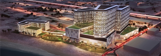
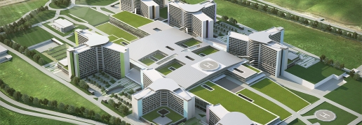
- Urban areas surveys and city modelling
- Architectural surveys of buildings, both for exteriors and interiors
- Plant, machinery and piping surveys
- As-built surveys
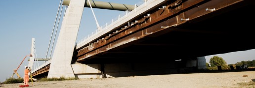
- Bridge and dam surveys
- Built heritage and archeological surveys for restoration projects
Laser scanners have many applications in land, architectural and historical fields:
- Land surveys
- Quarry, mine and landfill surveys
- Landslide and glacier monitoring
- Urban areas surveys and city modelling
- Architectural surveys of buildings, both for exteriors and interiors
- Plant, machinery and piping surveys
- As-built surveys
- Bridge and dam surveys
- Built heritage and archeological surveys for restoration projects
The main features of this non-contact survey are:
- Being non-invasive, thus perfect for surveying fragile elements to be safeguarded
- Making it possibile to survey otherwise inaccessible points and locations, even in unsafe environmental conditions

